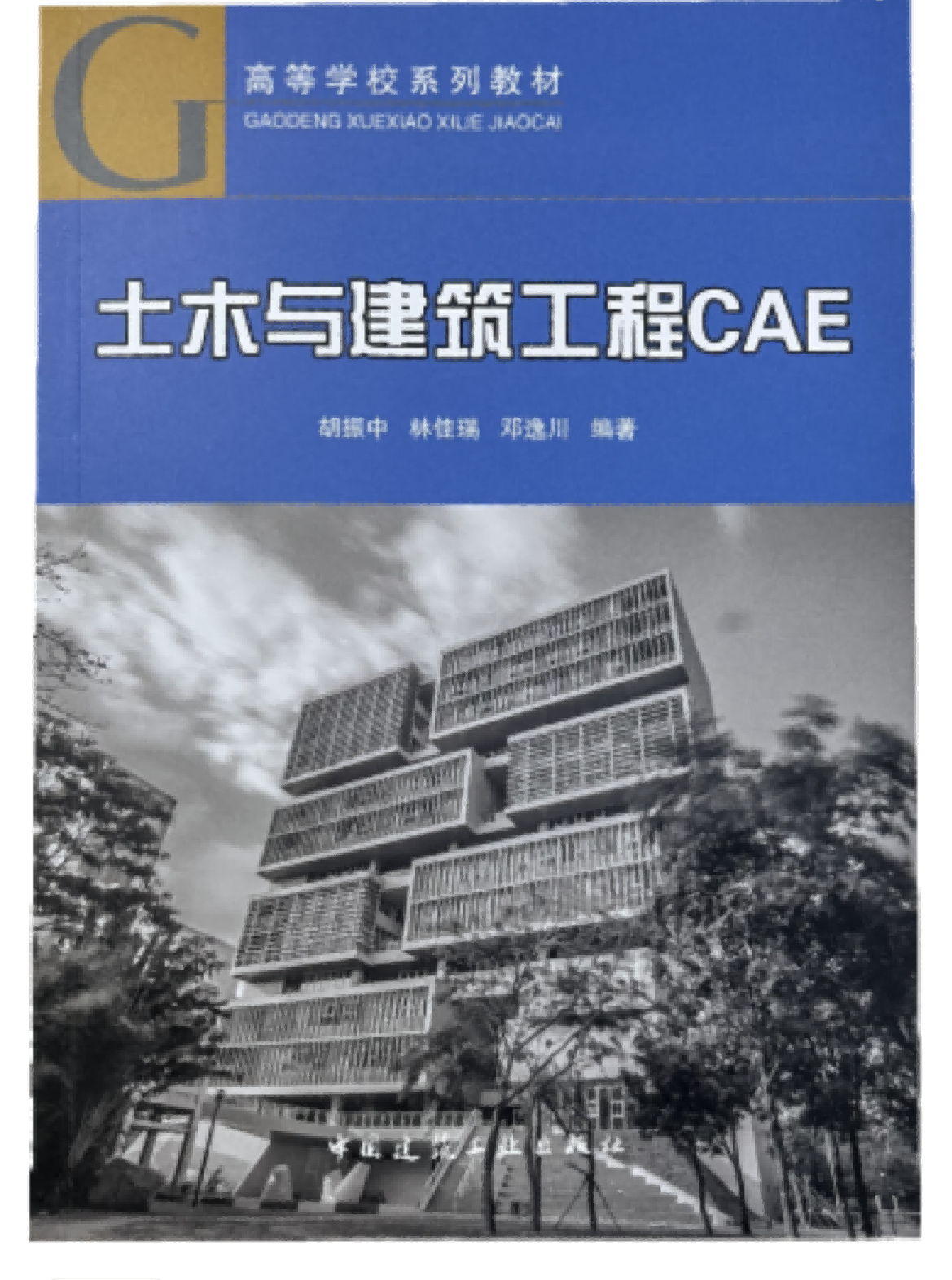
With the support of the National Key R&D Program, National Natural Science Foundation of China, and Guangdong Provincial Basic and Applied Basic Research Fund, the textbook "Civil and Building Engineering CAE" has been published and distributed by China Construction Industry Press. This textbook was co edited by myself, Lin Jiarui from the School of Civil Engineering Tsinghua University, Deng Yichuan from the School of Civil Engineering and Transportation at South China University of Technology, and members of the research group, Zhu Shiyi, Jia Weilu, Leng Shuo, Wu Langtao, Yuan Shuang, Song Shengyu, Yan Kexiao, and others.
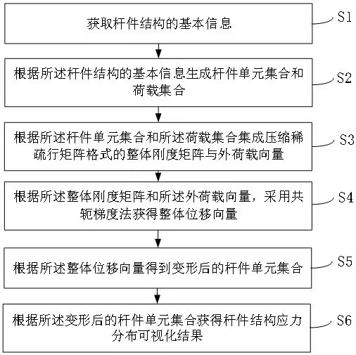
In order to meet the needs of senior undergraduate and graduate students in higher education institutions for CAE technology, the writing team closely combined with the cutting-edge development of the discipline, systematically sorted out the characteristics, connotations, and types of CAE technology, reshaped the curriculum outline, and wrote this textbook. The textbook is divided into eight chapters, including introduction, visualization technology of CAE system, modeling technology of CAE system, discretization technology of CAE system, virtualization technology of CAE system, networking technology of CAE system, automation technology of CAE system, and intelligence technology of CAE system, totaling 587 thousand words.
This book emphasizes the foundation of knowledge, emphasizes the explanation of concepts and principles, and focuses on showcasing the latest development achievements and future trends of CAE technology in the field of civil and construction engineering. We strive to introduce these complex technologies in a simple and easy to understand manner, so that senior undergraduate and graduate students can better understand and master these technologies. I hope that through the study of this book, readers can master the commonly used CAE technologies in the field of civil and construction engineering, improve their ability to solve practical engineering problems, and lay a solid foundation for future research and career.
This textbook can be used as a teaching material for undergraduate and graduate students majoring in civil engineering, architecture, marine engineering, and construction management in ordinary higher education institutions, as well as for professional and technical personnel in related fields to learn and reference.
Note: For the convenience of teachers teaching, the author of this textbook has made a self-made free courseware, and the request method is: 1. Email jckj@cabp.com.cn ; 2. Telephone (010) 58337285; 3. Jiangong Academy http://edu.cabplink.com .
Book purchase link: https://item.jd.com/10093037637234.html.